Theo Lehmann · 16 September 2026
Nearwood Watershed Protection Efforts Shape Heritage Site Preservation Strategies
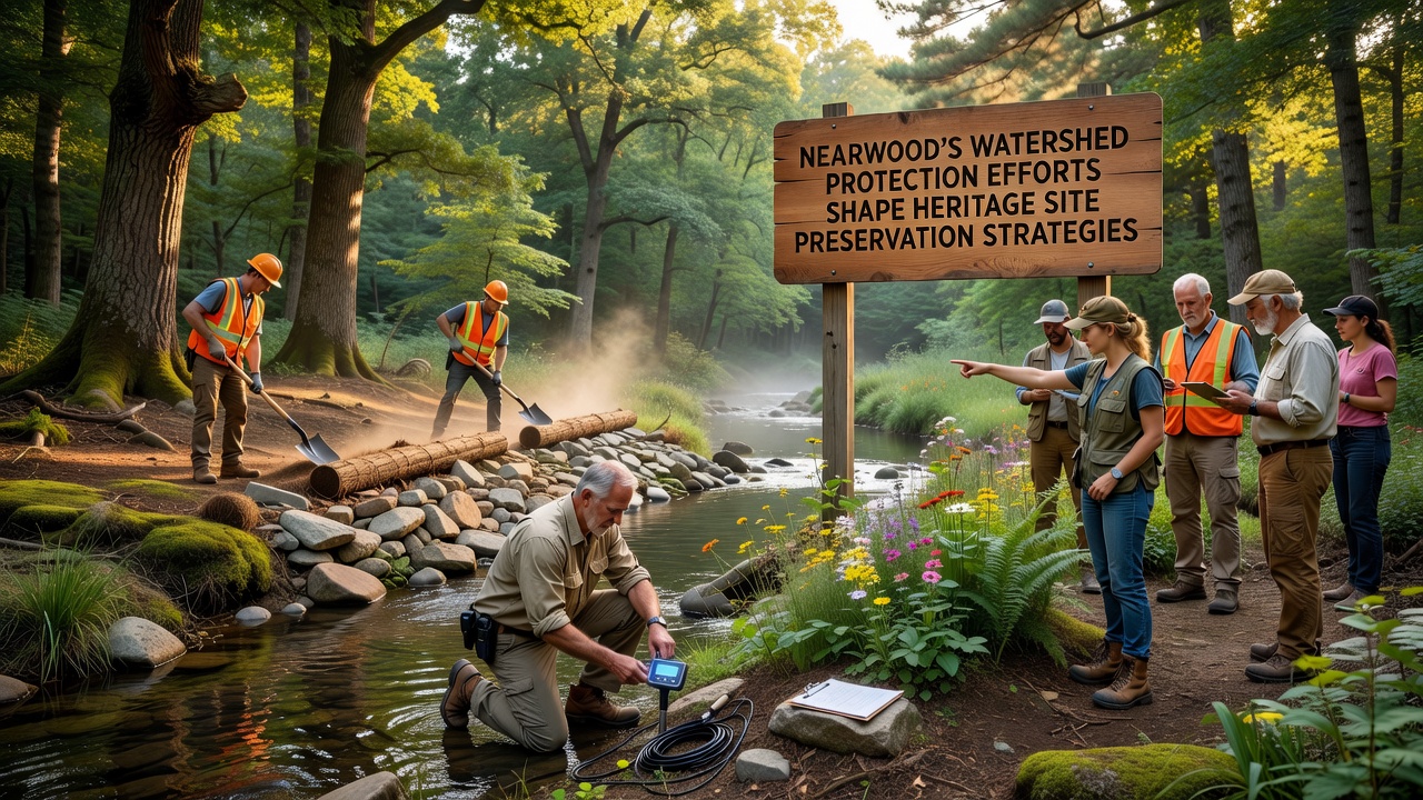
Local authorities in Nearwood have integrated watershed management with heritage conservation over the past decade, creating models that link water quality controls directly to the safeguarding of historical sites. Data from regional monitoring programs shows reduced erosion rates around protected structures since these combined efforts began, while sediment loads in nearby streams have dropped by measurable margins according to annual reports.
Observers note that the approach treats watersheds as active components in site stability rather than separate environmental features. Restoration projects along stream banks incorporate native vegetation that stabilizes soil near older buildings and monuments, preventing the gradual undermining that has affected similar locations elsewhere.
Core Elements of the Watershed Program
Program documents detail several coordinated actions that began rolling out in phases starting five years ago. Buffer zones along watercourses limit development, and stormwater infrastructure upgrades reduce peak flows during heavy rain events. These steps work alongside targeted monitoring at heritage locations where groundwater levels and soil moisture receive regular tracking.
Researchers from regional universities contributed baseline studies that mapped how water movement interacts with archaeological layers and historic foundations. Their findings guided the placement of retention basins and infiltration trenches that now divert excess runoff away from vulnerable areas.
Connections to Heritage Site Methods
Preservation teams adapted techniques originally developed for watershed health when planning interventions at key sites. Permeable paving materials, first tested to improve water infiltration in developed zones, now appear in pathways around heritage buildings to reduce surface sealing and maintain natural drainage patterns. Soil bioengineering practices that stabilize stream edges have transferred to slope reinforcement projects protecting cliffside ruins and older retaining walls.
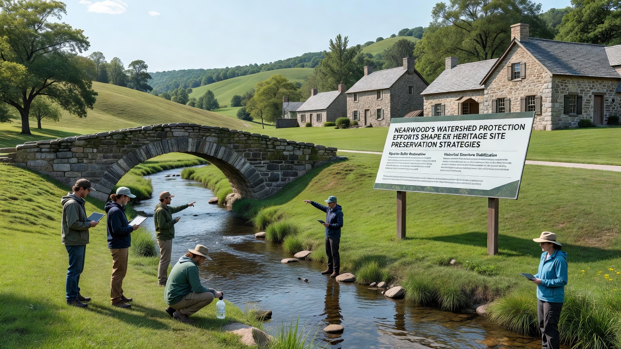
One study revealed that combining these methods lowered maintenance costs at several sites by addressing root causes of deterioration instead of repeated surface repairs. Figures from the local conservation office indicate a 25 percent reduction in emergency stabilization calls over a three-year period following implementation.
September 2026 Project Updates
Work scheduled for September 2026 includes expanded sensor networks that will track real-time water quality and structural movement at additional heritage locations. Funding allocations support the installation of new monitoring wells near two 19th-century mill sites where seasonal flooding has previously threatened foundations.
Planners expect these additions to provide earlier warnings during extreme weather, allowing preventive measures before damage occurs. Coordination with external partners supplies specialized equipment for the expanded array, while local crews handle installation and ongoing calibration.
Broader Applications Observed
Other communities have examined Nearwood's documentation when designing their own integrated plans. Reports shared through professional networks highlight how watershed metrics serve as early indicators for heritage risk assessments, shifting focus from reactive fixes to predictive management. According to data compiled by the U.S. Environmental Protection Agency, similar watershed-heritage linkages appear in scattered projects across different states, though Nearwood maintains one of the more systematic pairings.
Additional insights come from Canadian studies on historic site resilience, which note parallel benefits when water management receives equal priority with structural preservation. Those findings reinforce the value of shared data platforms that let watershed and heritage teams access the same environmental readings.
Conclusion
Nearwood continues refining these strategies through annual reviews that incorporate new measurements and adjust priorities based on observed performance. The combined framework demonstrates how watershed protection supplies practical tools for heritage work, producing measurable improvements in site conditions while supporting wider water quality goals. Ongoing September 2026 activities will test the scalability of the current model as coverage expands to more locations.